
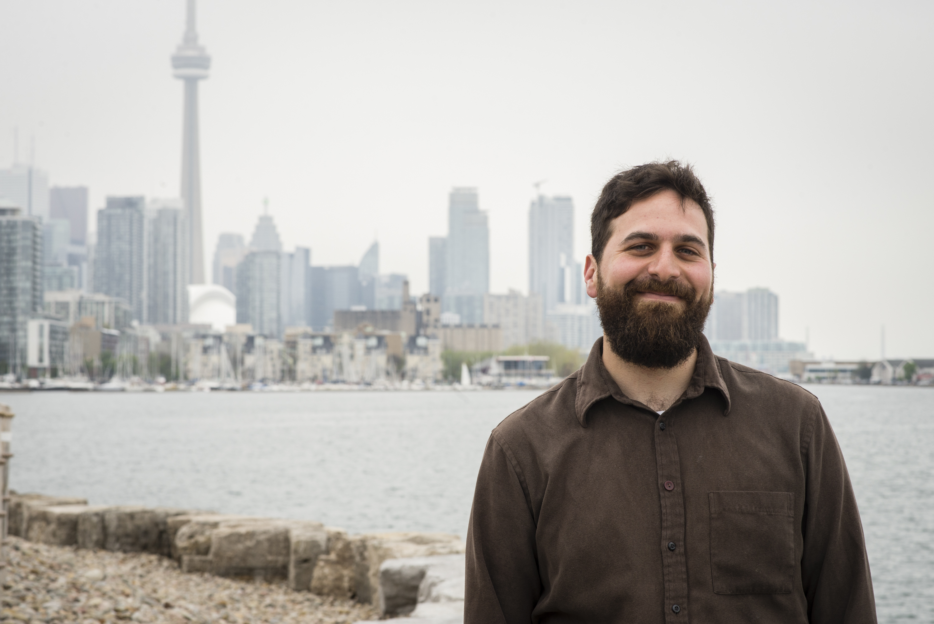
I’m Daniel Rotsztain, the Urban Geographer, an artist, writer, and cartographer based between Toronto/Tkaronto, Ontario, Canada and Ithaca, New York. My multidisciplinary work examines our relationships to the places we inhabit.
As a lover of communal spaces like public libraries, malls, and strip malls, my projects also seek to understand and support the diverse settings of the city’s public life. As a geographer of European descent working on Turtle Island, I am committed to understanding and sharing the treaties and Wampum Belts that outline our roles and responsibilities toward this land and its people.
A few highlights:
-
I’m the author and illustrator of All the Libraries Toronto, a colouring book featuring every branch of Toronto Public Library and A Colourful History Toronto, a collaboration with the City of Toronto featuring the city’s historic sites.
-
My work has also been published in the Globe and Mail, Now Magazine, Toronto Life, New York Magazine, and Spacing Magazine, and my past clients include the City of Toronto, Heritage Toronto, ERA Architects, the Toronto Board of Trade, and the Canada Council of the Arts. I’ve had a semi-regular column on CBC Radio exploring the Greater Toronto Area.
-
I’m also the co-founder and Executive Director of plazaPOPS, a project to enhance strip mall parking lots to become vibrant public spaces.
-
Since 2023, I have taught “Designing the Peripheral City”, a Masters of Urban Design seminar at the University of Toronto’s Daniels School of Architecture, Landscape Architecture, and Urban Design.
Photo by Hannah Davison